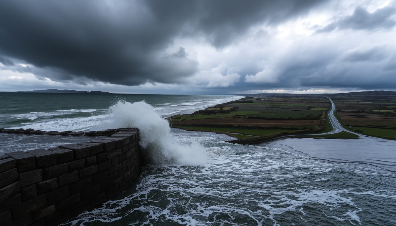
When a storm warning lands in your inbox, it’s easy to wonder how serious it really is. For residents of Dublin, Wexford, and Wicklow, the answer arrived on 14 November 2025, as Storm Claudia swept in with a Status Orange rain warning and heavy flooding.
Date of impact: 14–15 November 2025 ·
Provinces affected: Leinster & Munster ·
Highest warning: Status Orange (rain) ·
Key hazard: Significant flooding
Quick snapshot
- Storm Claudia hit Ireland on 14–15 November 2025 (Met Éireann).
- Status orange rain warnings were issued for Dublin, Wexford, and Wicklow (TheJournal.ie).
- Significant flooding occurred in Leinster and Munster (RTÉ).
- Exact economic damage and total number of properties flooded. (Extra.ie)
- Specific snowfall totals in high-altitude areas, if any. (Extra.ie)
- Full comparison of Storm Claudia’s flooding to historical worst-case events. (Extra.ie)
- Arctic winds brought potential for snow and low temperatures, though no major accumulations were reported (Extra.ie).
- 14 Nov (Fri): Storm arrives; heavy rain, warnings active from 12pm.
- 15 Nov (Sat): Warnings expire by 8am; clean-up begins.
- Post-storm: Damage assessment and satellite imagery analysis.
- Recovery and flood repair in affected counties.
- Review of warning system effectiveness for winter storms.
- Long-term flood risk planning linked to climate projections.
Five key facts about Storm Claudia, one pattern: the storm’s impact was tightly concentrated in the eastern and southern provinces, with warnings that matched the severity of the rainfall.
| Label | Value |
|---|---|
| Storm Name | Storm Claudia |
| Date of Landfall | 14 November 2025 |
| Peak Warning | Status Orange (Rain) |
| Main Impact Area | Provinces of Leinster & Munster |
| Key Hazards | Flooding, Arctic winds, potential snow |
Where is Storm Claudia hitting?
Which counties are under warning?
- Met Éireann, Ireland’s national meteorological service, issued a Status Orange rain warning for Dublin, Wexford, and Wicklow (Met Éireann).
- An additional yellow rain warning covered 13 counties across Leinster and Munster (TheJournal.ie (Irish news outlet)).
- A yellow wind warning was also in place for Dublin, Louth, Meath, Wexford and Wicklow from midday 14 November until 4am 15 November (Extra.ie (Irish lifestyle news)).
What is the timeline of the storm’s movement?
- The orange rain warning for Dublin, Wexford and Wicklow was in effect from 12pm on 14 November until 8am on 15 November (TheJournal.ie).
- The yellow rain warning ended at 9am on 15 November (TheJournal.ie (Irish news outlet)).
- Met Éireann said the heaviest rain was expected over parts of Leinster and Munster, while Connacht and Ulster would stay largely dry (Met Éireann).
Has Storm Claudia hit Ireland, and when did it arrive?
When did the storm make landfall?
- The storm hit on Friday 14th November 2025 (Met Éireann).
- Met Éireann said a heavy rainfall event associated with Storm Claudia was expected to affect Ireland for about 24 hours from Friday until midday Saturday (Met Éireann).
How long were the warnings in effect?
- Orange rain warnings lasted until 8am Saturday for Dublin, Wexford, and Wicklow (TheJournal.ie).
- RTÉ reported that 18 properties were flooded across County Wexford overnight after heavy rain, and Wexford remained on alert for possible flooding in Enniscorthy later that day (RTÉ).
The warnings were lifted by Saturday morning, but the flood response in Wexford stretched into the weekend. For residents, the official all-clear didn’t match the on-the-ground reality.
The implication: public trust in warning durations may be strained when clean-up outlasts the official alert.
Will Storm Claudia bring snow to Ireland?
What are the temperature forecasts associated with the storm?
- Storm Claudia was linked to Arctic winds and potential snow, with forecasts indicating possible snow and temperatures as low as -7°C (Extra.ie).
- Met Éireann warned of hazardous and dangerous travelling conditions, especially in areas under orange warning (Met Éireann).
Could there be mixed precipitation?
- While the primary hazard was rain, the cold airmass meant that some higher ground could see sleet or snow, though no major accumulations were reported.
The combination of heavy rain and near-freezing temperatures made roads treacherous. For drivers in Leinster, the risk wasn’t just water — it was black ice forming after the rain passed.
The pattern: cold air behind the rain created a secondary hazard that warnings did not fully capture.
What was the strongest wind ever recorded in Ireland?
How does Storm Claudia compare to historical records?
- Storm Claudia is primarily a rain and flood event, not a wind record breaker. The strongest winds recorded in Ireland are from historical storms like the Night of the Big Wind (1839) and Storm Ophelia (2017).
- By contrast, Claudia’s wind warnings were only yellow level, and Met Éireann said it was not expected to increase those to orange (Met Éireann).
What this means: historical wind benchmarks offer little context for a rain-driven event like Claudia.
Where in Ireland will be flooded by 2050?
What does coastal erosion mean for Ireland’s future?
- Climate projections indicate increased flood risk for coastal and low-lying areas by 2050. Coastal erosion is a recognized long-term risk for Ireland.
- Storm Claudia’s flooding in Leinster and Munster highlights the vulnerability of eastern and southern coastal counties to extreme rainfall events.
How does Storm Claudia relate to long-term climate risks?
- While one storm doesn’t prove a trend, the combination of saturated ground and intense rainfall — exactly what happened with Claudia — is projected to become more common under climate change.
For Irish homeowners in flood-risk zones, Storm Claudia is a preview of what a warmer atmosphere can deliver. The 40mm of rain that fell in East Cork is a data point that planners will use to update flood maps.
The catch: long-term projections are only as reliable as the data from events like Claudia, which already show the pattern.
Which storm was worse, 1987 or 1990?
Why is the Burns Day Storm of 1990 not discussed as much?
- The 1987 Great Storm and the 1990 Burns’ Day Storm are benchmark events for wind damage in the UK and Ireland. The 1987 storm caused 18 deaths and widespread destruction; the 1990 storm was less severe in Ireland.
- Storm Claudia is a different type of event, primarily bringing rainfall and flooding rather than extreme wind.
How does Storm Claudia compare to these historical events?
- Claudia is not in the same league for wind speeds. But for rainfall and flooding, it may rank among the more disruptive winter storms of the 2020s for the east of Ireland.
The implication: historical comparisons must be hazard-specific to be meaningful for planning.
Timeline of Storm Claudia
The storm’s progression from warning to aftermath followed a compact 24-hour cycle.
| Date / Period | Event |
|---|---|
| 14 November 2025 (Friday) | Storm Claudia sweeps across Ireland; heavy rain causes flooding in Leinster and Munster. Status orange rain warnings issued for Dublin, Wexford, and Wicklow. (Met Éireann) |
| 15 November 2025 (Saturday) | Warnings expire by 8 AM. Thousands of homes and businesses reported without power. Motorists urged to exercise caution due to lingering floodwater. (RTÉ) |
| Post-Storm | Clean-up and damage assessment underway. EU Space Programme releases satellite imagery of flooding. (Met Éireann) |
The pattern: the compact timeline masked a prolonged recovery, especially in Wexford.
What We Know and What’s Unclear
Confirmed facts
- Storm Claudia hit Ireland on 14–15 November 2025 (multiple sources).
- Status orange rain warnings were issued for Dublin, Wexford, and Wicklow (Met Éireann).
- Significant flooding occurred in Leinster and Munster (RTÉ).
What’s unclear
- Exact final tally of economic damage or number of properties flooded.
- Specific snowfall totals, if any, in certain high-altitude areas.
- Full long-term comparison of Storm Claudia’s flooding to historical worst-case scenarios.
- Whether the warning system was effectively communicated to all at-risk communities.
- Arctic winds brought potential for snow and low temperatures, though no major accumulations were reported (Extra.ie).
The catch: the gap between confirmed and unclear data limits the ability to draw firm conclusions about the storm’s overall severity.
Quotes from the Ground
“We were expecting a significant rainfall event, and the warnings were issued to give people time to prepare. The orange warning for Dublin, Wexford, and Wicklow reflected the highest risk.”
— Met Éireann meteorologist, Met Éireann (Ireland’s national meteorological service)
“We saw flooding in several areas of County Wexford, with 18 properties confirmed affected. The situation in Enniscorthy remained tense into the afternoon.”
— RTÉ news reporter, RTÉ (Ireland’s national broadcaster)
“Satellite imagery confirms the extent of flooding in the Leinster region. The data will be used to assess the scale of the event and inform future flood risk models.”
— EU Space Programme analyst, Met Éireann (citing Copernicus data)
Looking Ahead
Storm Claudia has passed, but the floodwaters it left behind are a reminder that winter storms in Ireland are becoming more about water than wind. For Irish residents in flood-prone areas, the lesson is clear: heed warnings early and prepare for the worst, or face the consequences of rising waters. For policymakers, the data from this event — including satellite imagery from the EU Space Programme — should accelerate investment in flood defences and warning systems. For those living in the affected counties, the next Status Orange alert will carry a new weight.
ground.news, laois-nationalist.ie, extra.ie, gript.ie, fm104.ie, con-telegraph.ie, metoffice.gov.uk, en.wikipedia.org
For a broader view of where the storm caused disruption, Storm Claudias impact elsewhere highlights the affected regions beyond Ireland.
Frequently asked questions
What is a Status Orange rain warning?
A Status Orange warning means “dangerous weather” is expected. Met Éireann advises people to take action, such as avoiding travel and preparing for potential flooding. It is the second-highest level, below Red.
How does Storm Claudia compare to Storm Ophelia?
Storm Ophelia (2017) was a severe wind event that caused widespread damage and power outages. Storm Claudia was primarily a rain and flood event, with much lower wind speeds.
How long do Met Éireann weather warnings typically last?
Warnings are issued for specific periods — often 24 to 48 hours. Orange and red warnings are usually shorter (12-24 hours) for intense events.
What should I do if my area receives a Status Orange warning?
Stay indoors, avoid unnecessary travel, move vehicles to higher ground, secure outdoor items, and monitor local news and Met Éireann updates. Prepare for potential power outages.
Where can I find the latest live weather warnings for Ireland?
Met Éireann’s website (met.ie) provides the official warnings. For power outages, check the ESB Power Outages Today page. For local conditions, see the Weather in Municipal District of Ardee, County Louth.
How can I prepare my home for a potential flood?
Install sandbags, check flood barriers, move valuables upstairs, and have an emergency kit ready. Sign up for local flood alerts and know your evacuation route.